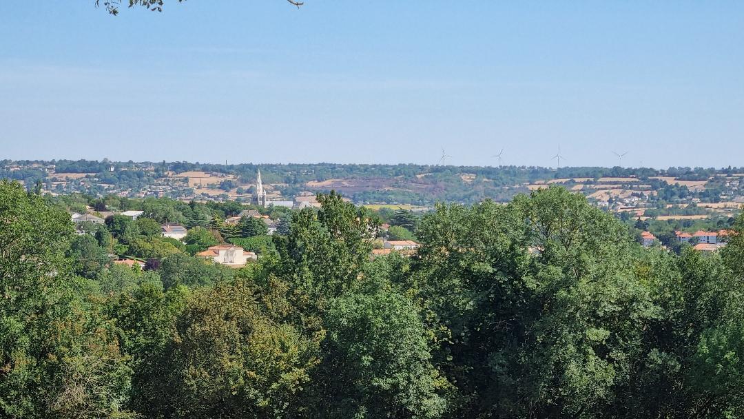
Les chemins creux de Saint-Martin de Saint-Maixent
Walking, Natural
in Saint-Martin-de-Saint-Maixent
6.4
km
Loop
on foot
Easy
-
Partez à la découverte des chemins creux de Saint-Martin-de-Saint-Maixent !
-
The Saint-Martin-de-Saint-Maixent Discovery Trail was created in partnership with the municipality of Saint-Martin-de-Saint-Maixent, the Deux-Sèvres Hunting Federation, and the children of the Emile Naslin school group as part of the Trame Verte & Bleue initiative. The trail helps to promote and develop ecosystems within the municipality.
- Departure
- Saint-Martin-de-Saint-Maixent
-
-
Difference in height
- 90 m
-
-
-
Documentation
-
- parcours pedagogique les chemins creux st martin de st maixent
- SENTIER PEDAGOGIQUE ST MARTIN DE ST MAIXENT
-
- 90 meters of difference in height
-
- Maximum altitude : 128 m
- Minimum altitude : 58 m
- Total positive elevation : 90 m
- Total negative elevation : -90 m
- Max positive elevation : 44 m
- Min positive elevation : -38 m
Services
-
-
Equipment
-